Friday April 12th, 2024
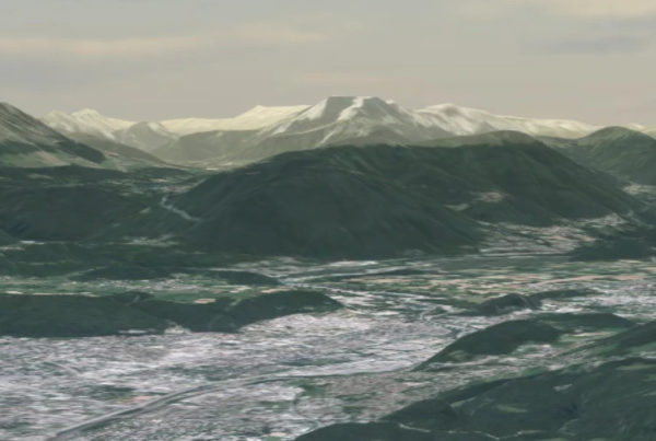
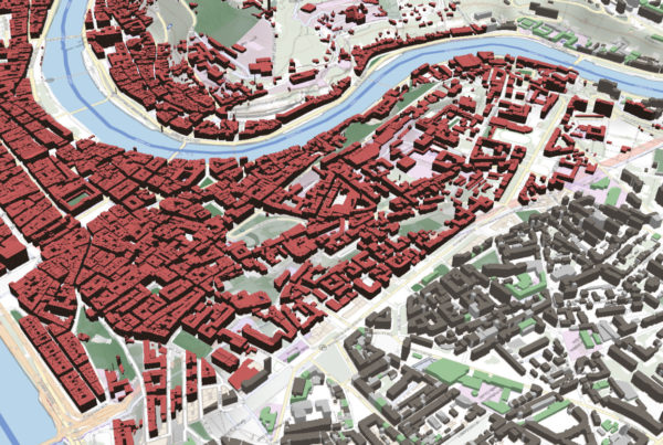
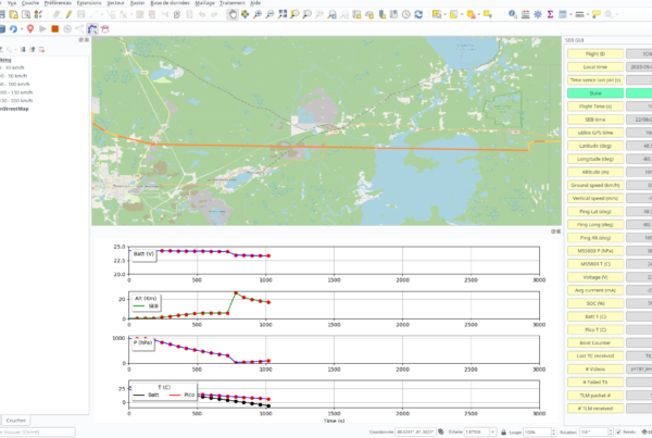
Giro3D 0.35: what’s new?
Giro3D is a Javascript library for visualizing geospatial data on the Web. Used in particular…
Read More
🗺 Contact :
Tour De L’Horloge – 4 Place Louis Armand – 75012 PARIS
infos@oslandia.com | +33 184 170 757

© 2026 Oslandia.

Recent Comments