Wednesday October 9th, 2024
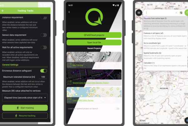
New release for QField : 3.4 “Ebo”
Oslandia is the main partner of OPENGIS.ch around QField. We are proud today to forward…
Read More
🗺 Contact :
Tour De L’Horloge – 4 Place Louis Armand – 75012 PARIS
infos@oslandia.com | +33 184 170 757

© 2026 Oslandia.

Recent Comments