Monday August 8th, 2022
New release of the LSCI plugin
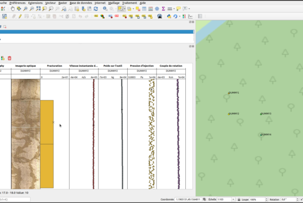
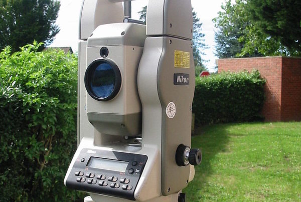
LandSurveyCodesImport (LSCI) is a surveying plugin. Where modern field survey solutions are not suitable, it…
Read More


🗺 Contact :
Tour De L’Horloge – 4 Place Louis Armand – 75012 PARIS
infos@oslandia.com | +33 184 170 757

© 2026 Oslandia.

Recent Comments