DevelopmentGISQGIS Connect your favorite file hosting service with QGIS 3.22 Lots of users need to link their geographical data with documents (photos, videos, pdf reports,…Julien CabiecesThursday November 4th, 2021
NewsFR (Fr) Oslandia recrute : Architecte applicatif et système – OSL2110C Sorry, this entry is only available in French.Vincent PicavetThursday October 28th, 2021
NewsFR (Fr) Oslandia recrute : Ingénieur(e) DevOps SIG – OSL2110B Sorry, this entry is only available in French.Vincent PicavetWednesday October 27th, 2021
NewsFR (Fr) Oslandia recrute : Ingénieur(e) développement d’applications SIG ( Python / SQL / QGIS ) – OSL2110A Sorry, this entry is only available in French.Vincent PicavetTuesday October 26th, 2021
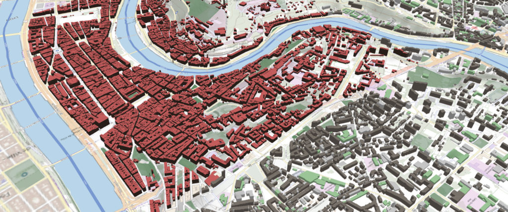
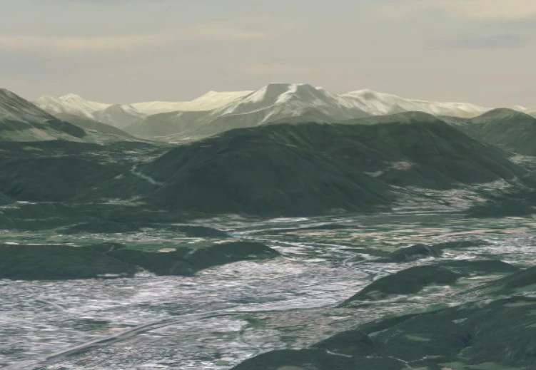
DevelopmentDeveloppementGISQGISSIG What about 3D in QGIS ? news from 3DTiles QGIS is a GIS client designed to visualize and edit 2D map. The need to…Bertrand ParpoilWednesday October 13th, 2021
DAONewsNewsFRQGISTopographie QompliGIS – A plugin to rule them all There are numerous services asking for external consultants to realise their maps. For this purpose,…Loïc BartolettiWednesday October 13th, 2021
AutresNewsFRNon classéOpen SourceQGIS (Fr) QSoccer : QGIS, football, what else ? Sorry, this entry is only available in French.Benoît BlancFriday June 25th, 2021
DeveloppementOpen Source (Fr) L’open Source chez Oslandia Sorry, this entry is only available in French.Raphaël DelhomeMonday May 10th, 2021
DataNon classé Tracking SNCF Réseau revenue trains (STC project) During this period of forced sedentariness, here is an article that will probably make you…Raphaël DelhomeWednesday February 10th, 2021
DataGISSIG How to visualize geological data in QGIS with QGeoloGIS In a recent blog post, we talked about Oslandia's works in geology, especially within the…Raphaël DelhomeMonday January 4th, 2021
NewsFR (Fr) Oslandia recrute : ingénieur(e) développement C++ / Python – OSL2011B Sorry, this entry is only available in French.Vincent PicavetTuesday November 24th, 2020
NewsFR (Fr) Oslandia recrute : Ingénieur(e) développement d’applications SIG ( Python / SQL / QGIS ) – OSL2011A Sorry, this entry is only available in French.Vincent PicavetTuesday November 24th, 2020
DatabaseGISPostGISPostgreSQL Howto: upgrade your old PostGIS clusters For years, your PostGIS database has been your faithful companion, guardian of your geographic data,…Augustin TrancartThursday November 5th, 2020
Non classé Solving equations graphically with PostGIS Oslandia supports the "Direction de Etudes Amont et de l’Innovation" (DEAI) of Egis Rail in…Vincent MoraMonday November 2nd, 2020
GISGISNon classéQGISSIG Store and visualize your raster in the Cloud with COG and QGIS We have recently been working for the French Space Agency ( CNES ) who needed…Julien CabiecesMonday September 14th, 2020
QGISQWC2 (Fr) Simplifions la publication de projets QGIS sur le web (3) : comment contribuer à un projet Open Source ? Sorry, this entry is only available in French.Benoît BlancMonday August 31st, 2020
GISNon classéQGIS Publication de l’extension COVADIS RAPEA pour QWAT et QGEP QWAT est une application open source de gestion des réseaux d'eau potable émanant des collectivités…Régis HaubourgTuesday August 25th, 2020
QGISQWC2 (Fr) Simplifions la publication de projets QGIS sur le web (2) Sorry, this entry is only available in French.Benoît BlancThursday July 16th, 2020
ConférenceDataDevelopmentDeveloppementGISGISQGIS Open source & geology Oslandia has been working for some years on open source tools dedicated to the visualization…Bertrand ParpoilThursday July 9th, 2020
Data A new release for Deeposlandia, which comes with a new QGIS plugin! It had been a quite long time since the last Deeposlandia release, isn't it? We…Raphaël DelhomeThursday June 25th, 2020