Tuesday December 2nd, 2025
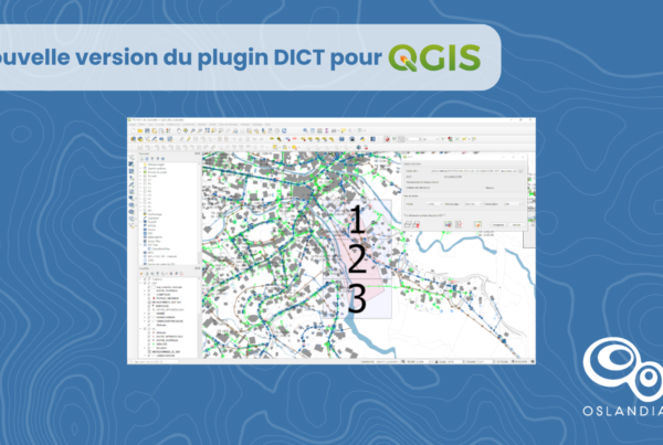
New version of the DICT plugin for QGIS
Sorry, this entry is only available in French.
Read More
🗺 Contact :
Tour De L’Horloge – 4 Place Louis Armand – 75012 PARIS
infos@oslandia.com | +33 184 170 757

© 2026 Oslandia.

Recent Comments