SPECIALISTS AT YOUR SERVICE

Oslandia is an innovative company specialized in GIS architecture. We provide services on Open Source software for which we are editors or recognized experts.

GIS

Oslandia actively contributes to Geographic Information Systems like QGIS, QGIS Server and many other opensource GIS software components and has several core committers within its team.

We have also developed expertise in the field of Web mapping applications with Leaflet and OpenLayers.

3D

We have strong skills ranging from processing to visualization of 3D data. We offer a 3D software stack including a point cloud streaming server, 3D visualization frameworks, and related tools such as SFCGAL, a collection of three-dimensional object manipulation libraries.

DATA

Furthering our long-standing expertise, we apply our data processing skills through the conception of various complex GIS-oriented algorithms and our contributions to PostGIS.

Our Data activity goes from the building of data pipelines to the design of AI and machine learning algorithms applied to geospatial analysis.

Ecosystem involvement

Recent news

3DDataDeveloppementSFCGAL
Tuesday November 10th, 2026

(Fr) Albion, récit de vie d’un projet OpenSource pour la géologie et le minier

Sorry, this entry is only available in French.

QGIS
Friday November 6th, 2026

Improving Memory Safety in QGIS

As part of our Security project for QGIS initiative, we identified a work package titled “Improve Memory Safety.” Having worked on this topic over the last few months, here is…
ConférenceEventOpen SourcePostGISSFCGAL
Wednesday November 4th, 2026

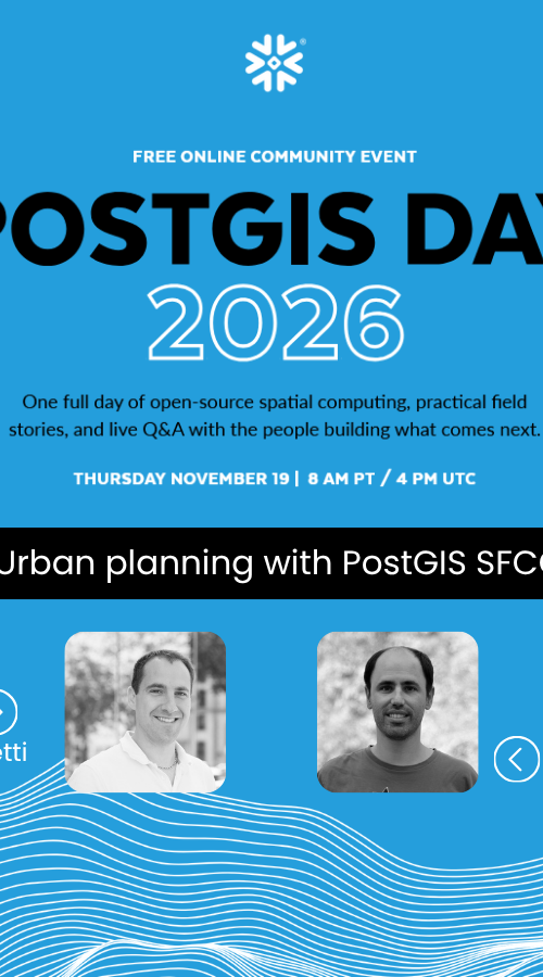
PostGIS Day 2026

Oslandia will be at PostGIS Day 2026 | Thursday, November 19 | 8 a.m. (Pacific Time) / 4 p.m. (UTC) A full day dedicated to open-source geospatial computing, real-world case…