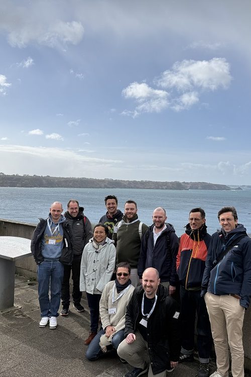
SPECIALISTS AT YOUR SERVICE

Oslandia is an innovative company specialized in GIS architecture. We provide services on Open Source software for which we are editors or recognized experts.

GIS

Oslandia actively contributes to Geographic Information Systems like QGIS, QGIS Server and many other opensource GIS software components and has several core committers within its team.

We have also developed expertise in the field of Web mapping applications with Leaflet and OpenLayers.

3D

We have strong skills ranging from processing to visualization of 3D data. We offer a 3D software stack including a point cloud streaming server, 3D visualization frameworks, and related tools such as SFCGAL, a collection of three-dimensional object manipulation libraries.

DATA

Furthering our long-standing expertise, we apply our data processing skills through the conception of various complex GIS-oriented algorithms and our contributions to PostGIS.

Our Data activity goes from the building of data pipelines to the design of AI and machine learning algorithms applied to geospatial analysis.

Ecosystem involvement

Recent news

NewsFRTémoignage client
Tuesday April 16th, 2024

(Fr) [Témoignage client] Émilie Bigorne, géomaticienne EPTB Loire

Sorry, this entry is only available in French.
3DDataDeveloppementNewsOpen Source
Friday April 12th, 2024

Giro3D 0.35: what’s new?

Giro3D is a Javascript library for visualizing geospatial data on the Web. Used in particular by the Piero application, it is compatible with a wide range of raster and vector…
NewsFR
Thursday April 11th, 2024

(Fr) Étude EDF Indoor – déplacements & guidage en intérieur et réalisation d’un prototype

Sorry, this entry is only available in French.