SPECIALISTS AT YOUR SERVICE

Oslandia is an innovative company specialized in GIS architecture. We provide services on Open Source software for which we are editors or recognized experts.

GIS

Oslandia actively contributes to Geographic Information Systems like QGIS, QGIS Server and many other opensource GIS software components and has several core committers within its team.

We have also developed expertise in the field of Web mapping applications with Leaflet and OpenLayers.

3D

We have strong skills ranging from processing to visualization of 3D data. We offer a 3D software stack including a point cloud streaming server, 3D visualization frameworks, and related tools such as SFCGAL, a collection of three-dimensional object manipulation libraries.

DATA

Furthering our long-standing expertise, we apply our data processing skills through the conception of various complex GIS-oriented algorithms and our contributions to PostGIS.

Our Data activity goes from the building of data pipelines to the design of AI and machine learning algorithms applied to geospatial analysis.

Ecosystem involvement

Recent news

ConférenceEvent
Tuesday October 27th, 2026

Open Source eXperience 2026

See you at Open Source Experience 2026! 9 and 10 December 2026 | Paris – Porte de Versailles – Hall 5.2 Vincent Picavet will be leading the talk “Mental health…

NewsFR
Thursday October 22nd, 2026

(Fr) Combiner SFCGAL et Piero pour visualiser des géométries 3D sur le web

Sorry, this entry is only available in French.
ConférenceEventQGIS
Thursday October 8th, 2026

A look back at the QGIS User Conference 2026

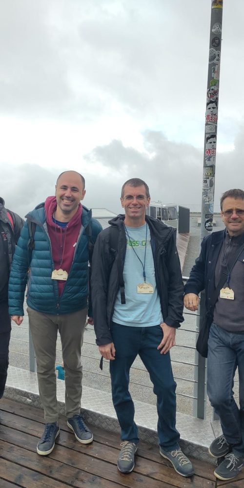
Oslandia took part (actively!) in the QGIS User Conference 2026, which was held in early October in Laax, Switzerland. The teams led four workshops and talks on the first day:…