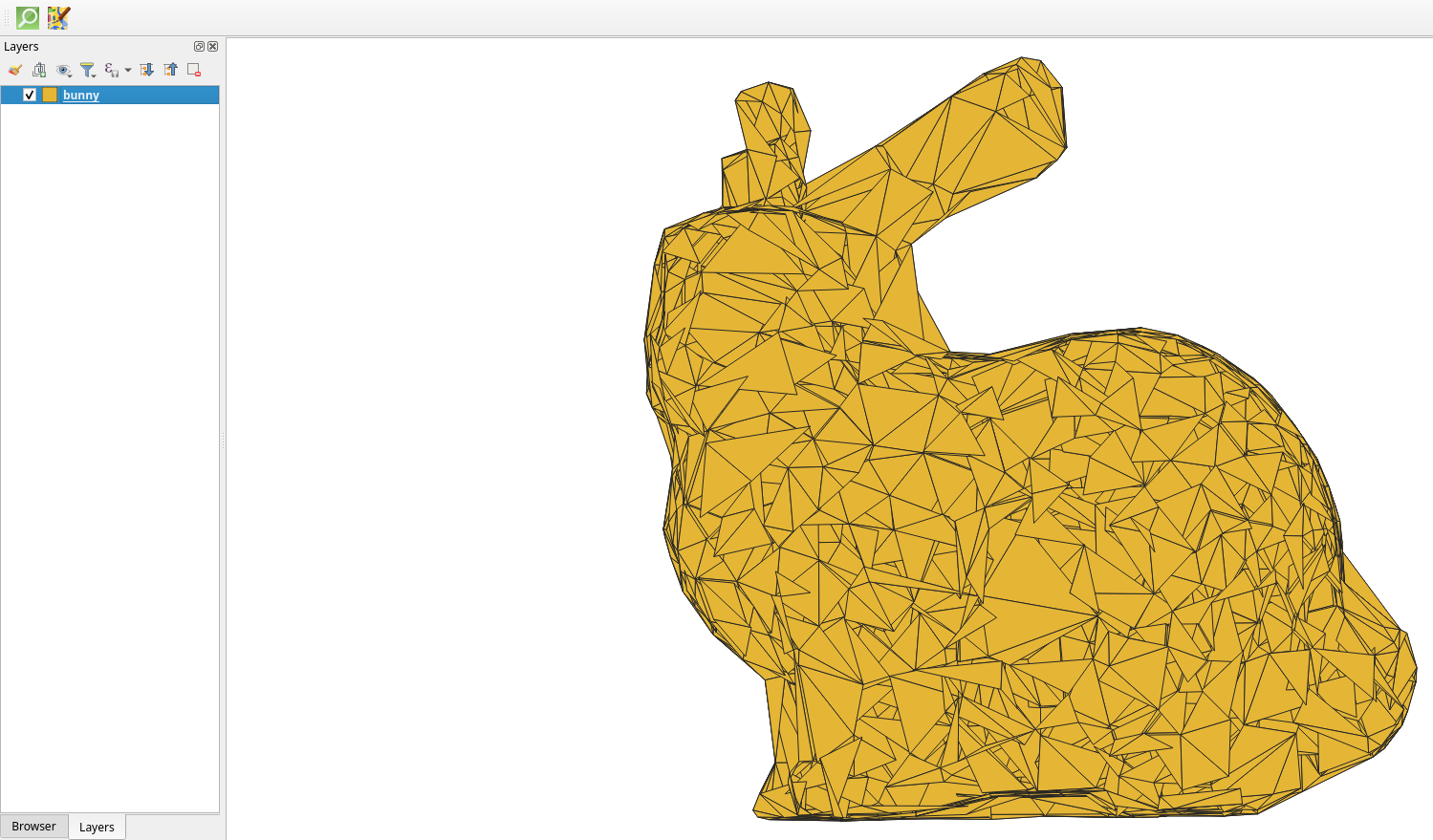
[A PolyhedralSurface in the shape of a rabbit in the QGIS 2D canvas].
Initially designed for 2D mapping, QGIS has seen the emergence of 3D capabilities in recent years. As a result of Oslandia’s ongoing development work on this component of the application over the past 3 years, version 3.40 of QGIS now supports the display and manipulation of complete 3D geometries, such as polyhedral surfaces and irregular triangulated networks (TINs). This makes it possible to visualise 3D shapes that are far more realistic and complex than simple polygons.
For a better understanding, here is a simple definition of these geometries:
- A polyhedral surface is a 3D surface composed of multiple flat facets (polygons or triangles) that are assembled to create a shape in volume, with a realistic rendering of curves and reliefs.
A triangulated irregular network (TIN) is a polyhedral surface whose mesh is made up exclusively of triangles of varying size and angle.
This new support now offers the possibility of performing 3D processing (such as cutting, merging, moving, etc.) via the QSFCGAL plugin. These advances broaden the scope of projects requiring 3D analysis.
These developments have been made possible thanks to funding from the CEA and our R&D work funded by the European Union – Next Generation EU as part of the France Relance plan and the Cloud Platform for Smart Cities project.
These developments will enable us to meet our customers’ practical needs, for example by representing geological layers and enabling cross-sections to be made to determine the nature of the subsoil.

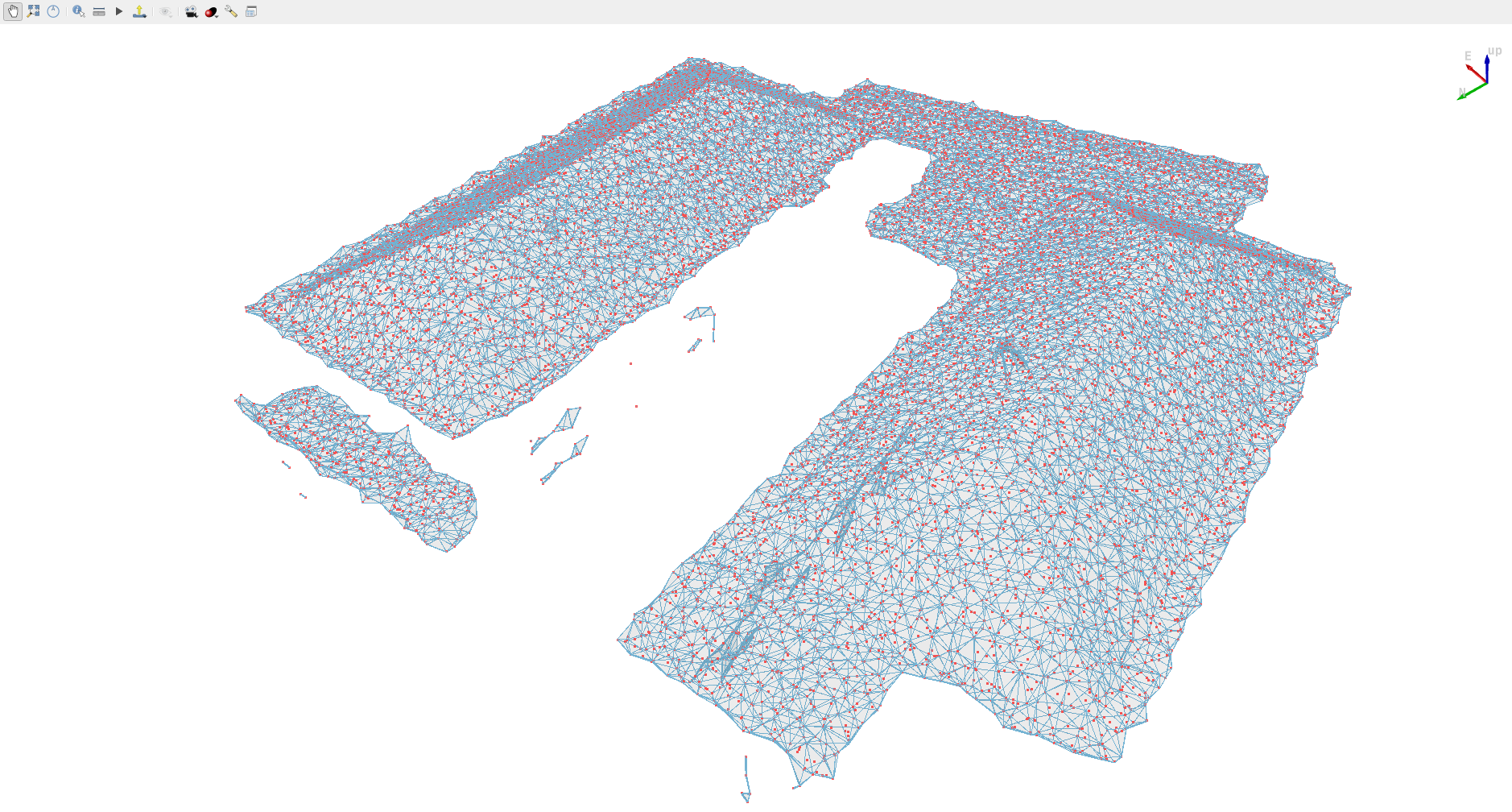
PolyhedralSurface visualised in QGIS 3D. In red, a point cloud. The geometry represents a concave envelope of the point cloud calculated using SFCGAL.

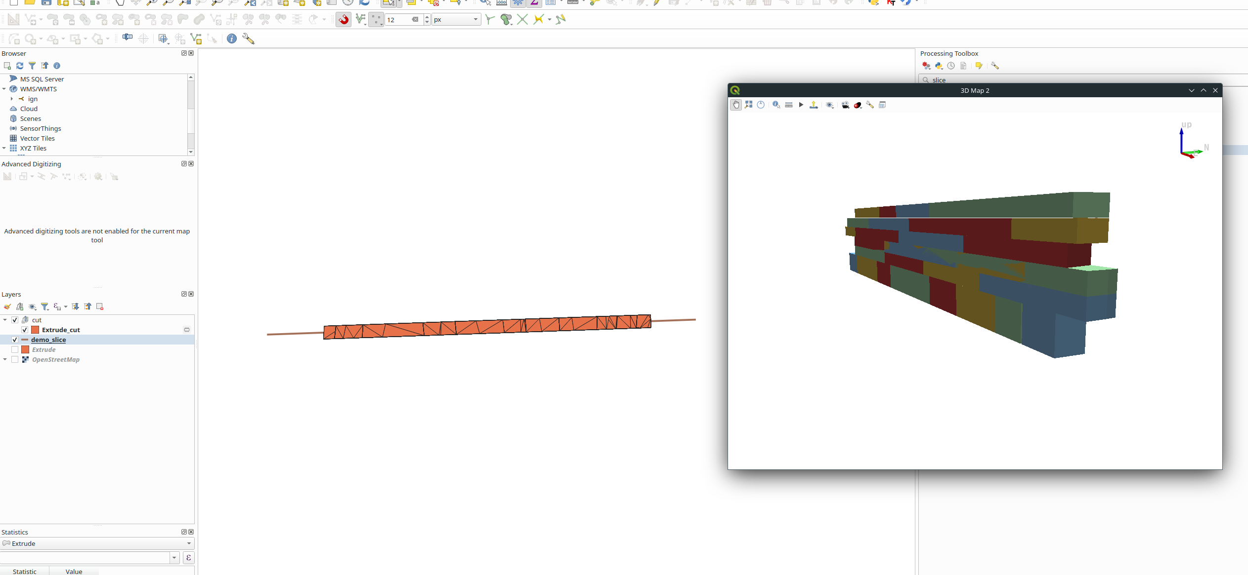
Extracting a section from a 3D geometry using the QSFCGAL plugin


