SYNOPSIS
This training session is dedicated to OpenSource tools allowing visualization and processing of data generated by UAV (Unmanned Aerial Vehicle).
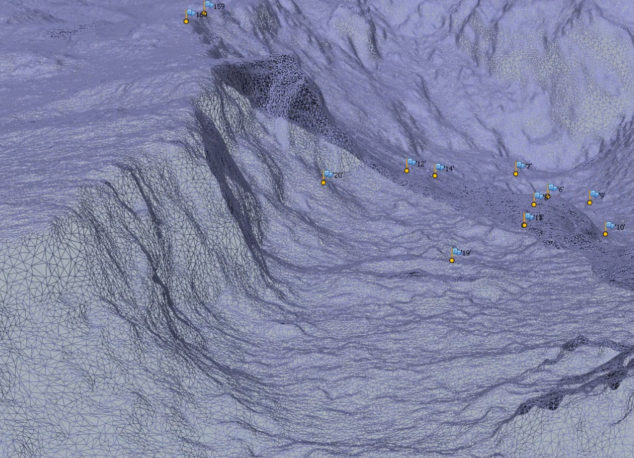
Emerging drones technologies and their applications in civil areas open new perspectives in various fields of application. Images coming from UAV sensors represent huge volumes and require complex processing to be used properly.
OpenSource tools allowing to process these data to take the most out of it are now available. This training session, after reviewing theoretical aspects and acquisition methods, presents the OpenDroneMap project.
GOALS
Thanks to this training, you will develop the following skills:
-
- Know the theory for UAV data processing
- Be able to implement the OpenDroneMap application for UAV data processing
PROGRAM
This program is indicative. It could be adapted to your specific needs.
- Photogrammetry
- Principles of photogrammetry
- Main modes and use cases
- Theoretical aspects
- General methodology
- Data acquisition
- Various types of sensors involved
- General advices
- OpenDroneMap
- Project presentation
- Installation
- Processing workflow
- Components presentation
- Using OpenDroneMap
- Point Clouds reconstruction from images
- Digital Surface Model reconstruction
- Textured DSM reconstruction
- Imagery orthorectification
- Perspectives and future
DURATION
3 days
PRE-REQUISITE
Good general IT skills
GIS basic knowledge
The next courses (Lyon or Paris):
.
Contact us for on-site trainings (dates are flexible to your needs).
You want to participate in this training ?
Please give us the details below if you can:
* Training
Place of training, Number of people involved, Initial level of participants, Time constraints, Specific expectations
* Contact details
Organization, Address, Contact, Email, Intracommunity VAT

