Summer is coming, and so are the holidays. Before trading your computer for a beach towel, let us showcase the latest developments from CityForge.
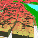
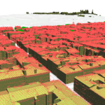
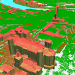
CityForge is a QGIS plugin that enables the use of Geoflow to generate a CityJSON file.
The principle is simple:
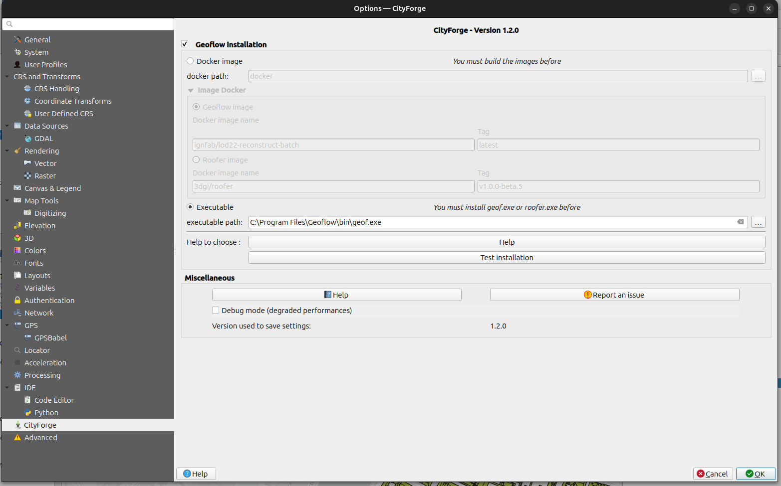
- Download geoflow as a Windows executable or a Docker image for Linux.
- Install CityForge in QGIS.
- Provide a point cloud file (copc.laz, .laz) and a building footprint file in QGIS.
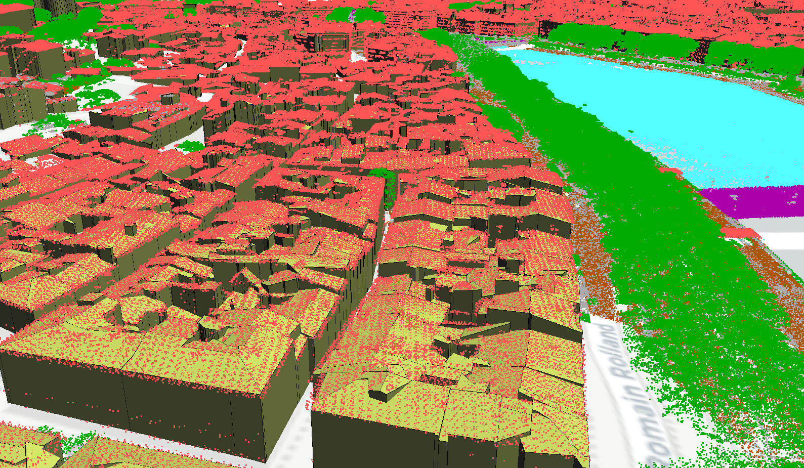
The plugin takes care of generating a CityJSON file that can be visualized in QGIS using the CityJSON Loader plugin.
Private funding has contributed to Oslandia’s open-source time. As a result, features addressing professional needs have been integrated:
- A post-processing step allowing multiple CityJSON files to be merged.
- The ability to use layers from different providers such as PostgreSQL or SQLite.
- Since Geoflow can generate OBJ files, we have added support in the Processing framework to generate these files.
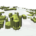
Roofer integration into CityForge
Roofer is a 3D building reconstruction tool developed by the 3D Geoinformation Research Group at TU Delft, joined in 2022 by the company 3DGI. It emerged in 2024 from a complete redesign of Geoflow, its predecessor, with financial support from the ERC and the Dutch Kadaster.
As part of this refactoring effort, Roofer delivers improved performance compared to Geoflow. The output files are generated as JSON Lines and CityJSONSeq, which are more compact than CityJSON. This helps reduce generation times.
Since the CityJSON Loader visualization plugin is based on CityJSON files, CityForge automatically converts CityJSONSeq files into CityJSON.
As Geoflow continues to meet the needs of many users, we decided to maintain compatibility with both tools. Users can choose between Geoflow and Roofer directly from the QGIS plugin settings.
CityForge QGIS 4 compatibility
To prepare the first stable release of QGIS 4, we made the plugin compatible with Qt6. This is an important step toward ensuring the project’s long-term sustainability and supporting users in their migration to the new version of QGIS.