Giro3D is a geospatial data visualization library for the Web. Free and open-source, it is compatible with many geospatial data sources (rasters, vectors, point clouds, etc.).
👉 See the full changelog for version 0.42.
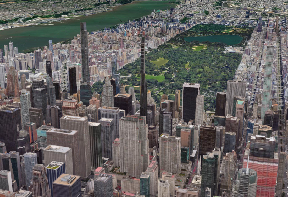
Improved 3D Tiles Format Support
With the integration of the 3d-tiles-renderer library, Giro3D greatly enhances its support for the 3D Tiles format and fixes many bugs. Version 3D Tiles 1.1 (also known as "Next") is also supported.
Note that Giro3D also supports Google 3D Tiles streams.
Dynamic Lighting and Shadows on Terrain
Until now, Giro3D terrains (via the Map entity) only supported a simplified lighting model called hillshade. It is now possible to dynamically illuminate your terrains with three.js lights. Add an arbitrary number of directional and point lights to the scene, and the terrain will be lit. All light parameters are managed dynamically: position, intensity, color…
It is also now possible to visualize shadows cast by three.js lights, for example, to show building shadows on the terrain or sunlight in a valley.
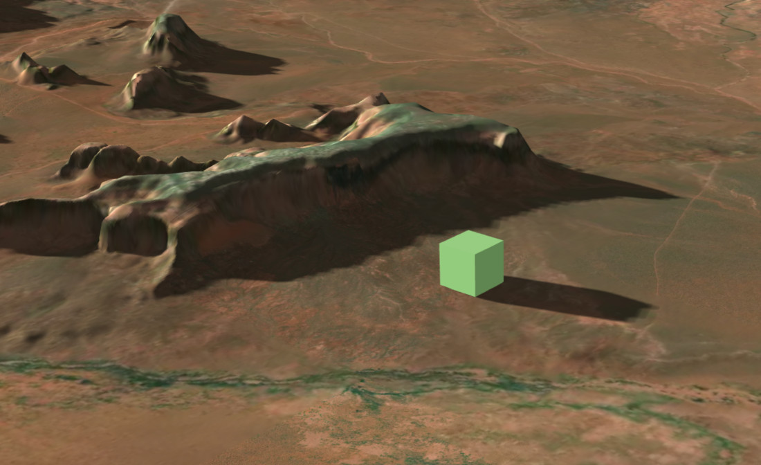
👉 See the dedicated example
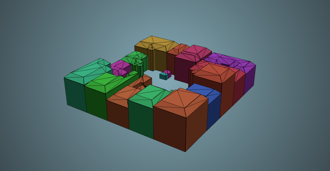
Support for 3D Geometries
It is now possible to visualize Simple Feature geometries (via the FeatureCollection entity) that have vertical walls (such as building walls).
👉 See the GeoJSON 3D example
![(Fr) [Témoignage client] Gilles Vache, Senior GIS Specialist Nadara](https://oslandia.com/wp-content/uploads/2025/01/témoignage-gilles-vache.png)

