SYNOPSIS
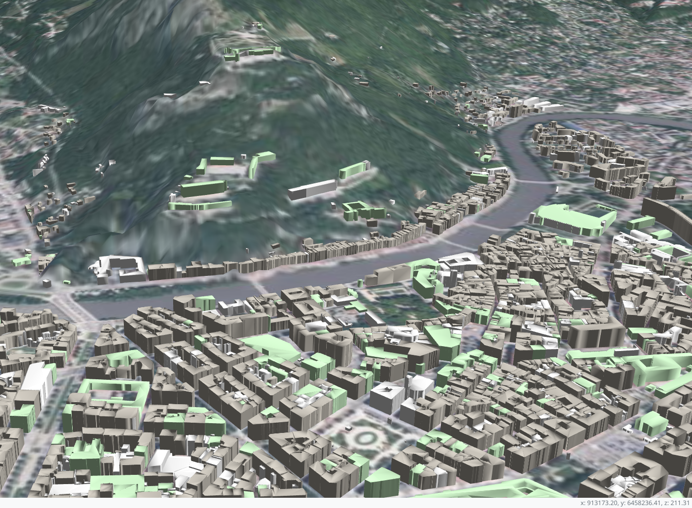
Giro3D is a WebGL-based javascript library implementing a native 3D spatial data visualization solution in browsers. It allows immersive navigation, visualization of point clouds, georeferenced mesh objects, 2D or 3D geographic data.
This training is intended for people wishing to develop rich 3D geospatial data visualization applications.
Giro3D website: https://giro3d.org/
GOALS
Through this training, you will acquire the following skills:
- Know the main features of Giro3D and THREE.js
- Be autonomous in setting up an application based on Giro3D
SYLLABUS
This programme is given as an indication only. It can be adapted as required:
- Reminder of 3D technologies
- Javascript frameworks
- WebGL
- Other Khronos standards
- Browser support
- 3D data types
- Presentation of the Giro3d project
- Use cases for giro3D
- setting up an example javascript project using giro3d, with npm and webpack (depending on requirements, other dependency managers or bundlers may be considered)
- the basic concepts of giro3d: instance, entities
- the basic concepts of three.js: object3d, cameras, scene
- camera controls and movements
- Data and data formats
- Map and classic cartographic data
- point clouds
- vectorised models
- use of the giro3D API and integration into a web interface
- Contribute to Giro3D

DURATION
3 days
PREREQUISITES
- Basic GIS knowledge
- Some programmation skills
- Some notion of javascript programming
Please contact us for in-company training, for a choice of dates and content tailored to your needs.
Taking part in this training course
Please provide details below if you can:
- About the course
Please tell us where the course will take place, the number of people involved, the initial level of participants, any scheduling constraints and any special requirements. - Your contact detail
Organisation, address, contact person, email address, VAT number.
We will get back to you as soon as possible.

