Loftmyndir ehf. is an Icelandic company providing geospatial data for Iceland, such as aerial photography, LIDAR data and terrain models. They also provide online maps taylored to specific needs of Icelandic municipalities.
What Oslandia provides Loftmyndir
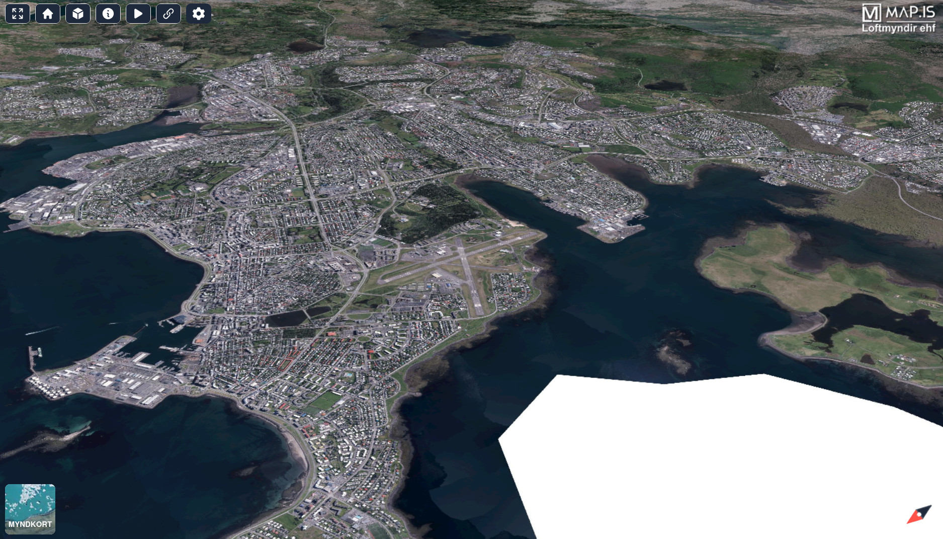
Oslandia assists Loftmyndir in building the 3D Map of Iceland using Open Source web technologies such as Giro3D and Vue.js.
Loftmyndir's development team builds the application with the help of Oslandia, when expertise related to 3D visualization is required.
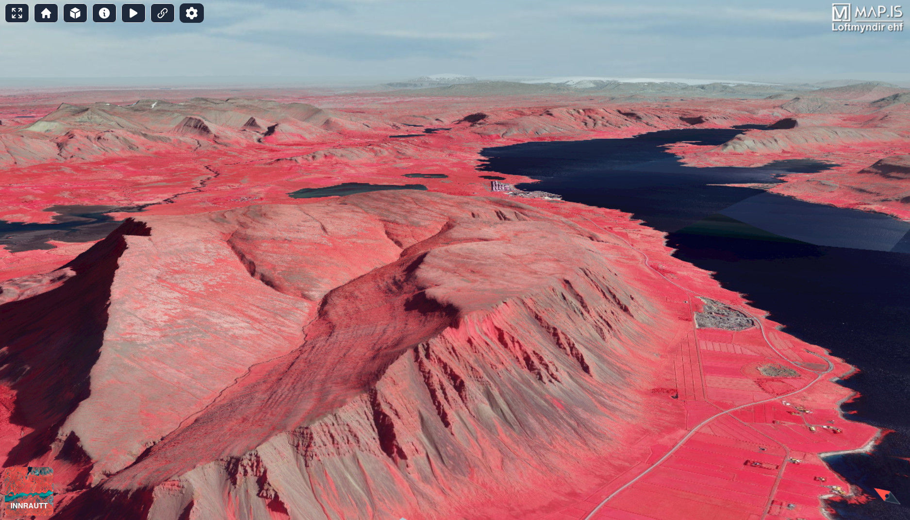
3D maps present specific challenges, in terms of data preparation, performance and ergonomy. For example, 3D environments are less intuitive to navigate, and require special care to help the user move around the vertical dimension. Oslandia's expertise in this domain can help you leverage the value added by elevation data in geospatial applications.
Oslandia provides assistance in the following areas:
- data preparation: conversion of elevation rasters to tiled layers optimized for web view
- integrating Giro3D into the Vue.js application
- implementation of various features such as navigation around terrain
- optimization of Giro3D for mobile platforms
A word from Loftmyndir
“ For years the Loftmyndir team has wanted to develop a browser application capable of displaying all of Iceland in 3D. We had the data and software developers with plenty of GIS experience but we were lacking in 3D expertise.
That's where Oslandia came in.
What had always seemed like such a daunting task has turned into an overall enjoyable and educational experience.
The highly capable developers at Oslandia were always quick to respond to our inquiries, which resulted in a fast development process and a quality project that we are quite proud of. ”
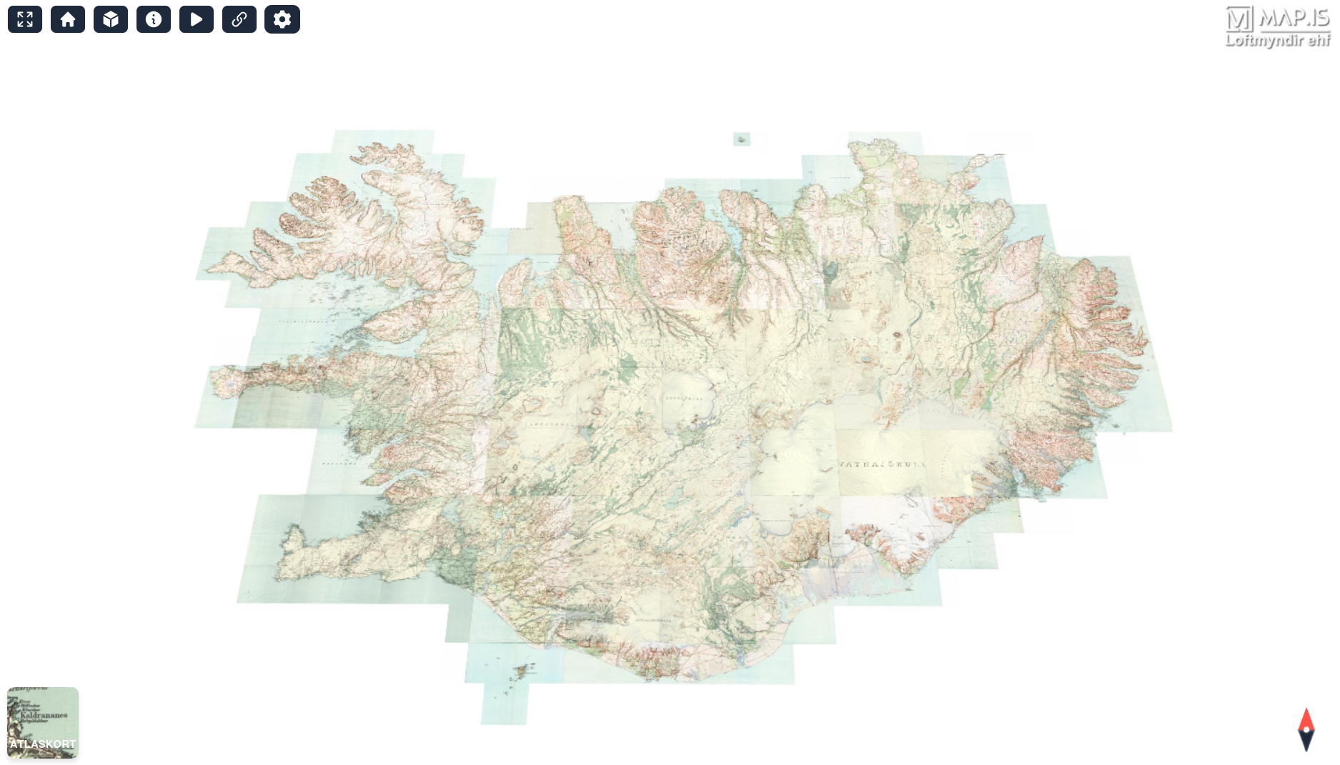
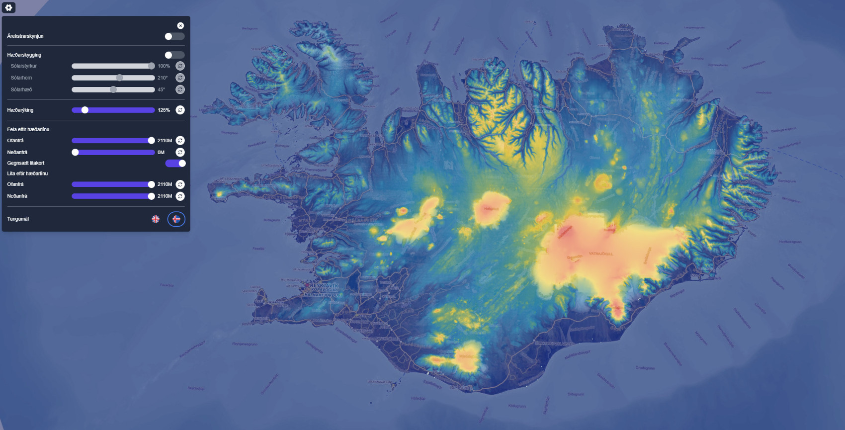
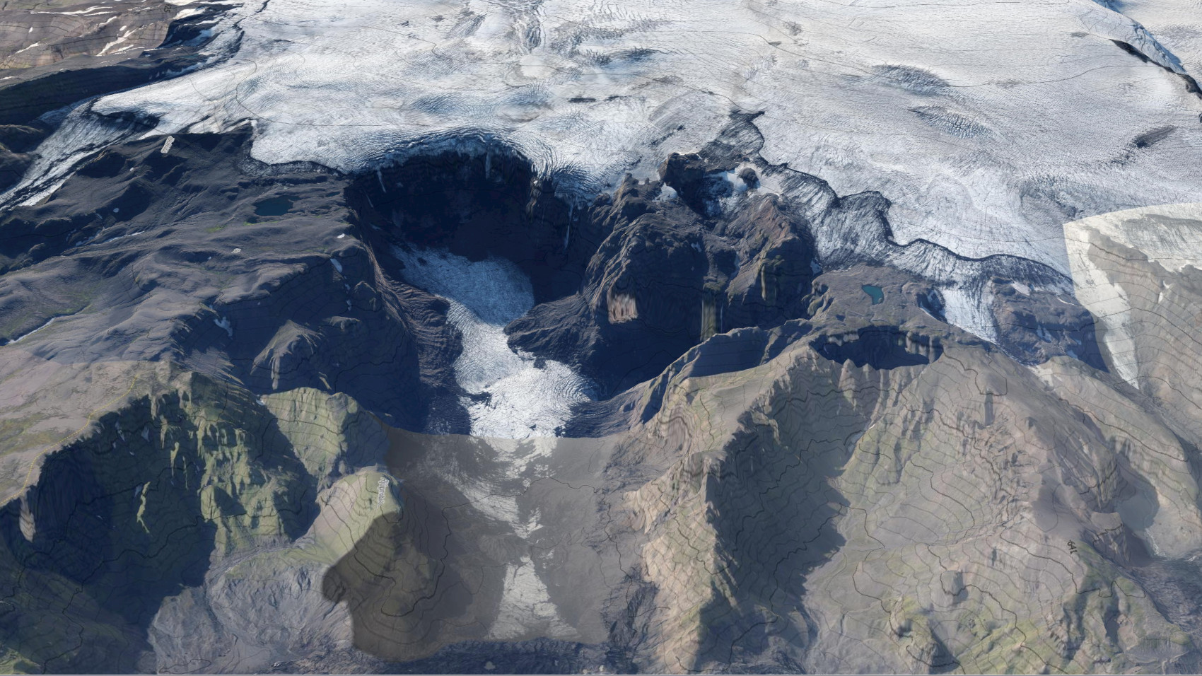
Gallery
Resources
- 👉 3d.map.is – The 3D Map of Iceland
- 👉 giro3d.org – The open source geospatial framework for the web
- 👉 loftmyndir.is