Introduction
We are pleased to announce a series of significant updates to Giro3D, the 3D Web library for geospatial visualization. These new features enhance the capabilities of our library and are designed to improve both the accuracy and efficiency of your 3D Web visualization projects.
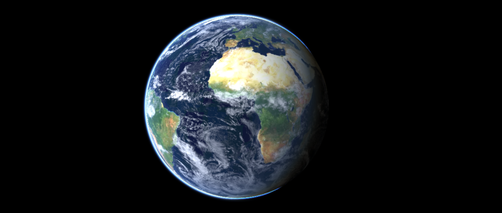
Globe Mode
Planned for Giro3D 0.40
Future versions of Giro3D will see the arrival of the long-awaited globe mode, allowing you to display a variety of globes (planets, moons, stars). Globe mode will support the same features as flat maps: unlimited number of color layers, terrain, and much more.
Blending modes
Since Giro3D 0.39
Inspired by QGIS, it is now possible to specify a blending mode for map layers. The available blending modes are: none, normal (the default), additive and multiplicative. These blending modes can be used to achieve specific visual effects, or to overcome the absence of a transparency channel in the image layer. In additive mode, for example, it is possible to display a cloudy layer, even if the layer is completely opaque.
Drawing and measuring tools
Since Giro3D 0.38
Draw lines, points, polygons, angular sectors… Giro3D’s new drawing system lets you precisely measure distances, angles, slopes, heights and surfaces. The objects created can be easily exported to GeoJSON.
API for 3D feature styles
Since Giro3D 0.38
Giro3D allows you to display features in the Simple Feature standard (GeoJSON files, WFS streams…), draped or not on a Map. Until now, the style APIs were very different between the draped and undraped versions. The differences have been considerably reduced to provide users with a similar API (with a few exceptions).
WebGL context loss management
Since Giro3D 0.38
In a previous 1′ tech article, we talked about WebGL, the graphics library for displaying 3D scenes in the browser. This library is used intensively by Giro3D, and it can happen that the connection to the graphical context is lost, preventing the scene from being displayed correctly.
Giro3D now intelligently handles the loss and restoration of the graphical context, restoring the scene display as it was before the interruption.
Support for point cloud classifications
Since Giro3D 0.37
Point cloud classifications bring a new dimension to geospatial data analysis. By enabling precise categorization of points, this feature simplifies management of complex information and contributes to better interpretation of geographic data.
Giro3D now supports the display of classified points, and allows you to modify the color and visibility of each classification.
Elevation queries
Since Giro3D 0.38
Giro3D now supports elevation queries on terrain data. This makes it possible to quickly calculate an elevation profile (even over a large number of points), as well as enabling the precise positioning of objects on the terrain (vehicles, symbols, etc.).
Dynamic lighting and drop shadows
Planned for Giro3D 0.40
Giro3D will support the three.js extensive lighting system on terrains, as well as drop shadows. It will be easier to simulate the sunlight and shading on mountains and other features.
360° panoramic images
Planned for Giro3D 0.40
Giro3D will enable the display of 360° images, also known as panoramic images in equirectangular projection, in any size (including hundred megapixels).